
Benton Neighbors by Public Record
A useful block search begins with a known address and expands one lot at a time. EDGE, the Saline County assessor's GIS service, displays parcel ownership, mailing and physical address fields, legal description, value, and acreage. That creates a map of public owners around a Benton address. It does not reveal every person who stays on those parcels. A voter file, historical census, Sanborn map, or community group answers a different and narrower question.
| Source | What It Shows About a Block | Access |
|---|---|---|
| EDGE adjacent parcels | Owners, mail and physical fields, legal description, value | Free map browsing |
| Street layer | Left and right address ranges and municipality | Free GIS layer |
| Voter export | Released names, addresses, precincts, excluding protected voters | Formal data request |
| Sanborn and census | Structures and enumerated household order at past dates | Digital and library sources |
| POA governance | Public board contacts, rules and meeting records | Organization sites |
Ownership is evidence of title, not a household roster. The owner's mailing address may differ from the parcel's physical address. Homestead status can support owner occupancy, but it still does not name the full household. Benton neighbors who rent, minors, unregistered adults, guests, and people with protected voter status may not appear in the block-level sources at all.
Map Benton Neighbors by Parcel
The verified EDGE method uses Find Address/Street, zoom controls, visible parcel polygons, and direct map clicks. There is no confirmed automatic radius or buffer search. Draw and Measure can mark a segment or distance, while the Attribute Table may help review the selected layer. Work outward from the subject lot and save each parcel ID. The ID and legal description keep a parcel distinct when street or ZIP labels change.
- Find the subject address or street in EDGE and zoom until its parcel is clear.
- Click each adjoining polygon, then record owner, parcel ID, physical address, mailing address, and legal description.
- Pan along the block and use left and right street ranges to avoid crossing into a different road or municipality.
- Compare mailing and situs fields before treating an owner as an occupant.
A situs address is the location of the property. The mailing address is where the owner receives notices. An incorporated-municipality field identifies city jurisdiction, while postal community identifies delivery naming. Those fields can disagree around fast-growing Benton. The Benton street directory carries the method along a whole named road when the question extends beyond the immediate block.
Benton Voter Records by Block
Arkansas VoterView checks an individual's own registration using first name, last name, date of birth, and county. It can return registration status, precinct or district, polling site, and sample-ballot details. It cannot browse Benton neighbors by address. A no-match may reflect spelling, birth-date, county, recent-processing, inactive, or canceled-status issues, so it does not prove that someone left a block.
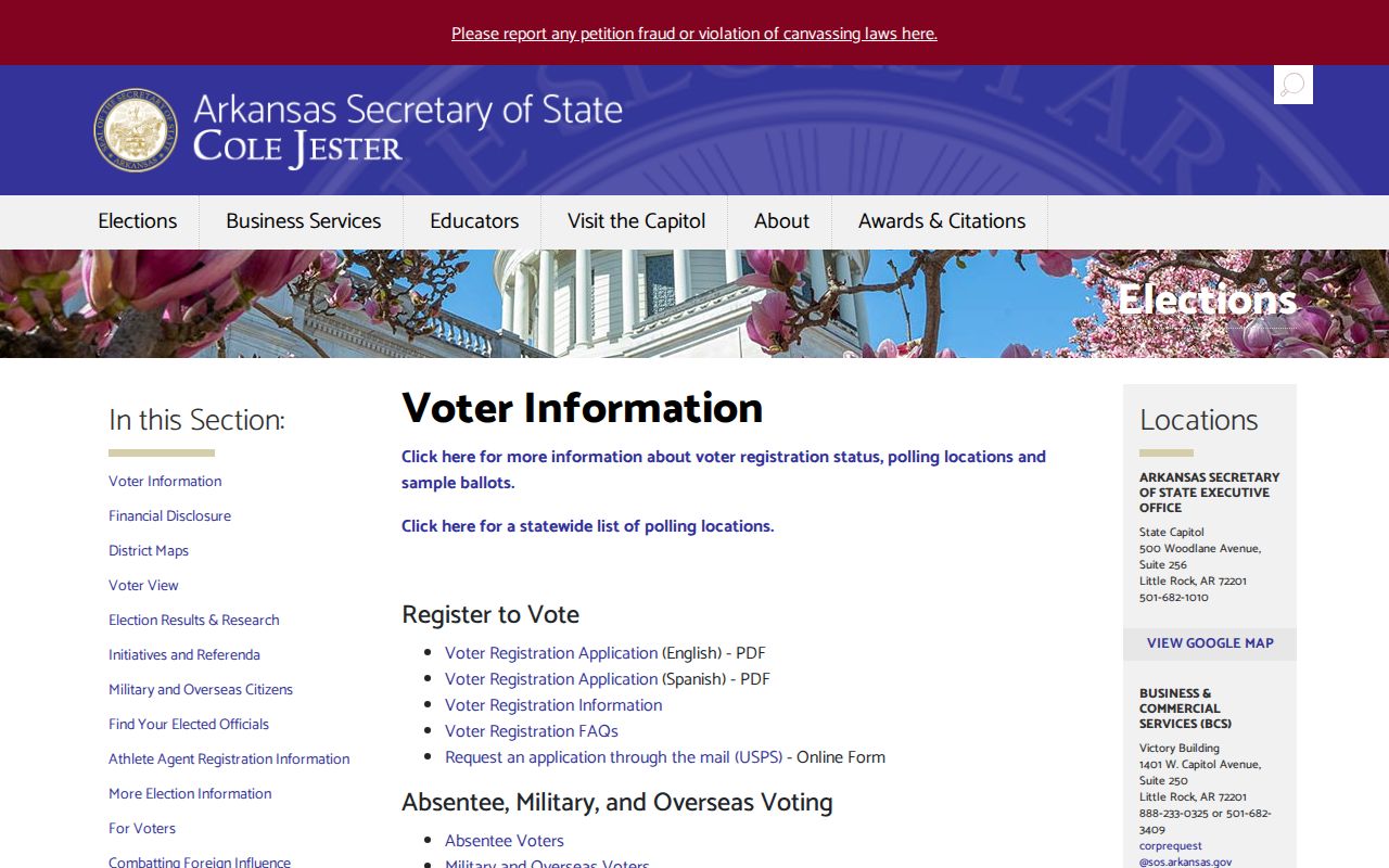
The official voter information starting point is shown in the manifest capture below.
Block-level work requires a lawful voter-data request through the Secretary of State or Saline County Clerk. Released fields can include name, residence or mailing address, county, precinct codes, status, registration date, and election-participation flags. Ballot choices, full birth dates, identification numbers, and secure addresses are not ordinary release fields. Ask the custodian for the current product, format, permitted use, and fee before ordering.
Benton Neighborhood Group Contacts
Benton does not have a verified citywide neighborhood-association registry in the research. Two development groups do publish governance contacts. Neither publishes a public resident directory. Their pages can identify officers, rules, meeting material, and the right office for a community question without exposing private household membership.
The Hurricane Lake Estates site publishes bylaws, bills of assurance, newsletters, permit forms, and meeting minutes.
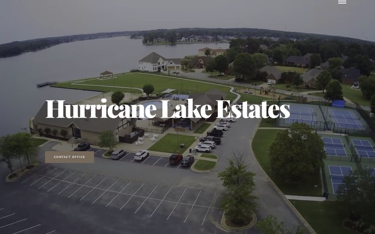
Those records show how the area is governed. They should not be recast as a household list.
The Miller Cove board page provides another public contact route.
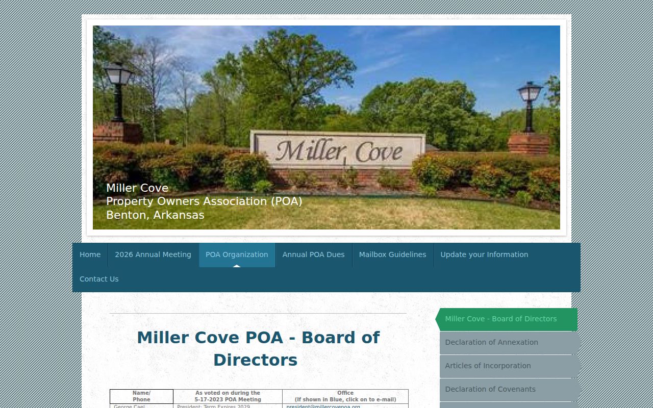
Board roles and terms establish official community contacts, not where each member lives.
Historic Benton Neighbors on Paper
A past Benton block needs sources that match its era. Library of Congress Sanborn maps depict structures and uses for Benton in 1915 and 1921. Federal census schedules, now public through 1950, record households in enumeration order. SCHHS compiled a 1910 dwelling-number index that is especially useful for rebuilding nearby households. Read the census sequence with the map because dwelling numbers are not always modern street numbers.
Saline County's courthouse records are described by SCHHS as virtually intact because there was no courthouse fire, though neglect caused some loss. That story matters at block scale. Deeds, tax sources, probate, newspapers, directories, and historical maps can overlap where one series is thin. The current parcel supplies the legal description; older deeds supply title; census and directory entries suggest occupancy. None substitutes for all the others.
Benton's early courthouse-centered plat used blocks and lots. For a nineteenth-century block, legal description and original-plat context are more reliable than forcing a modern street number backward.
Always keep the year beside each block-level name or address.
The Saline County Library and SCHHS fill different gaps. Library databases offer census, newspaper, and genealogy searching, including in-library resources that may not work from home. SCHHS keeps locally compiled census works, obituaries, school history, family files, and court material. Record the source date and call number for each neighbor clue. A donated family sheet or newspaper caption is a lead. A deed, census line, or original court record provides the stronger check.
Benton Block Boundaries Shift
Postal Benton and incorporated Benton are not the same geography. EDGE keeps separate fields for postal community and incorporated municipality. A Benton mailing label can sit outside the city, and a parcel near an edge can carry a neighboring postal identity. The city also has five political wards, but a ward is not a neighborhood and does not create a resident roster.
Growth makes map dates important. The 72019 ZIP was created from 72015 in 2006, and annexation or Census boundary corrections can change which layer describes a block. Preserve the parcel ID, legal description, and street number when comparing sources. For civic jurisdiction, check the incorporated-municipality layer. For mail delivery, use USPS. For ownership, use the assessor. Treating one layer as all three can place Benton neighbors in the wrong district or city.
Official and Commercial Neighbor Results
Official records and compiled neighbor tools serve different roles. An assessor or deed entry names a public-record party and keeps a parcel key. A voter release follows Arkansas access rules. A POA page identifies governance contacts. Commercial compilations may merge old addresses, duplicate names, or omit the source date. They can provide a clue, but they should not outrank the record custodian.
| Source type | Strongest evidence | Main limit |
|---|---|---|
| Assessor and GIS | Current parcel and owner fields | Ownership is not full occupancy |
| Recorded deed | Title transfer and legal description | Does not list every resident |
| Voter release | Lawfully released registration fields | Protected and unregistered people are absent |
| Commercial compilation | Possible lead across sources | Age, merging, source and accuracy may be unclear |
Correct official errors with the office that owns the record. Removing a profile from a compilation does not remove the underlying deed, assessment, or docket.
Benton Block Safety Records
The Saline County Sheriff is the official route for detention and county law-enforcement information.
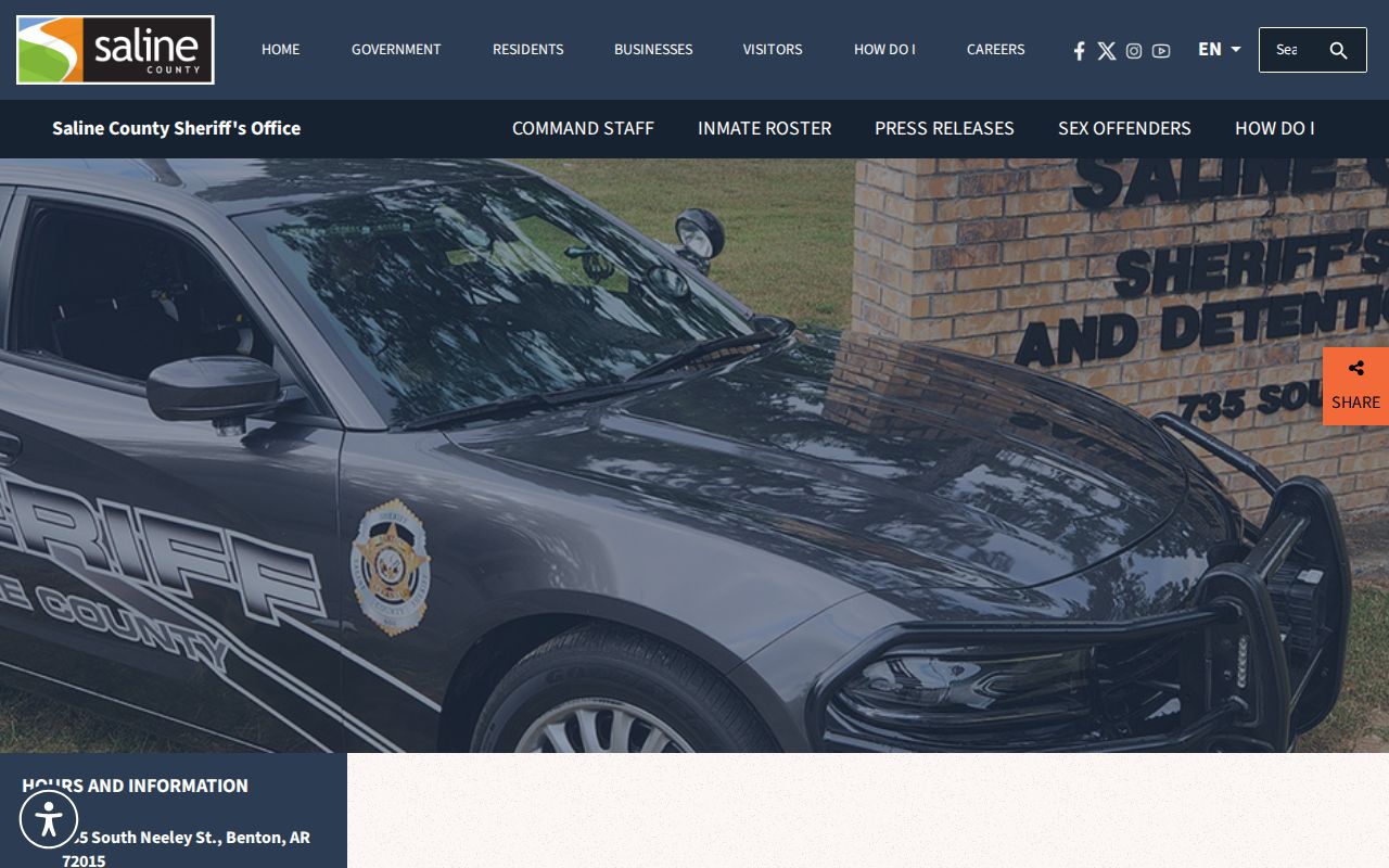
A custody entry or incident record answers a specific event question. It does not create a reliable block directory, and report access can be limited by active-investigation, victim, juvenile, and privacy rules.
For a non-emergency public-safety concern, use the independently verified Sheriff or Benton Police contact path. For an immediate threat, call 911. Registry or incident information must be tied to the official record and exact person rather than used as rumor about Benton neighbors.
Benton Police reports may be requested by report number, date, location, and permitted party details. Open investigations, victim information, juvenile records, and other protected facts may be withheld or redacted. A narrow request helps the records unit locate the correct event and reduces the risk of confusing two incidents on the same street.
Protect Benton Neighbors' Privacy
Public records do not expose every person on a block. Utility customers, delivery histories, motor-vehicle addresses, children, most unrecorded occupants, and full household membership remain outside these lookups. Arkansas secure-voter status under Ark. Code Ann. § 7-5-112 protects qualifying domestic-violence victims' actual addresses. A lawful export must omit those protected details.
Use the least intrusive record that answers the question. A parcel map is enough to identify an owner for a fence or title question. A public POA officer is the right contact for a covenant question. A census or Sanborn map fits local history. Do not publish a guessed household, approach someone based on a weak match, or treat missing data as suspicious.
Lawful use. Benton neighbor records support civic, historical, reunion, and personal safety research. Arkansas law prohibits stalking, threats, and harassment.