
Walk a Benton Street Directory
A Benton address search works best as a chain, not a single hit. The assessor and map establish the parcel. Recorded instruments then show title transfers. Voter data and old local sources can add carefully limited signs of residence. None of those layers alone proves every person who lives at a place. Keep the street number, parcel ID, legal description, and source date with each note so two similar addresses or names do not merge.
- Normalize the street number, direction, name, and type. Start at the Saline County Assessor and keep the physical address distinct from the owner's mailing address.
- Open EDGE through the assessor page. Find the street, pan along it, and click each parcel that fits the address range.
- Save each parcel ID and legal description. Those stable keys survive ZIP, street-label, parcel-split, and boundary changes better than a mailing label.
- Use the current owner as a grantee search in the recorder system. Match deeds by legal description and instrument data, then move backward one transfer at a time.
- Add only lawful household evidence. VoterView verifies one known voter, while released voter data, census, obituaries, and verified directories have separate limits.
This sequence makes the Benton address directory useful for civic research, family history, and a careful check of property claims. It also keeps ownership, mailing, and occupancy from being treated as the same fact.
Search Benton Streets in EDGE
EDGE is the key street-browse tool for Benton. Its quick search accepts a parcel ID, address, street name, or section-township-range label. The detailed search adds owner, subdivision, address point, and street fields. A street result can show direction, name, type, post-direction, address ranges on each side, and the city assigned to each side. That makes the map more useful than a plain owner-name list.
| EDGE field | Input style | How it helps by street |
|---|---|---|
| Quick Address | Partial address, autosuggest | Finds a known Benton starting point |
| Quick Street Name | Partial street, up to six suggestions | Opens a named road without an owner |
| Detailed Address | Contains search | Tests a full or partial street address |
| Subdivision Name | Contains search | Groups parcels in a named development |
| Address Point | Contains search | Checks postal code and municipal placement |
| Street Name | Contains search | Returns street ranges and city by side |
Map Contents, the Attribute Table, Draw and Measure, Find Address/Street, and print tools support the visual pass. No true radius or buffer search was verified. Use clicks and measured segments without claiming an automated radius result.
Note: EDGE limits quick suggestions, so switch to detailed contains searches when a Benton street does not appear in the first set.
Read Benton Street Address Fields
One EDGE parcel can carry several forms of place data. Physical or situs means where the parcel sits. Mailing means where the assessor sends owner mail. The address-point panel can separately name an incorporated municipality, postal code, and postal community. A postal label of Benton does not prove the parcel lies within incorporated Benton, and a different mailing city does not prove the owner lives away from the parcel.
- Parcel
- A tract tracked for assessment, usually identified by a parcel ID.
- Situs address
- The physical location assigned to the property, distinct from an owner's mailing address.
- Plat
- A recorded map that identifies subdivisions, lots, blocks, streets, and other survey details.
- Criss-cross directory
- A directory arranged by street or telephone number rather than only by surname.
The parcel popup can also show owner name, legal description, value, acreage, and section-township-range. ARCountyData may add tax, building, valuation, and sale tabs. Homestead data can support an owner-occupancy inference for the relevant year, but it cannot name all members of a Benton household.
Benton Records Indexed by Street
Benton address records come from keepers with different proof levels. The parcel map is the broad visual index. Deeds carry the title chain. Permits relate work to a site. Voter sources follow election law, and historical records cover only certain years. The table keeps those roles clear.
| Address source | Record keeper | Street evidence | Ways to reach it |
|---|---|---|---|
| Property roll | Saline County Assessor | Owner, situs, mailing, parcel, legal, value | ARCountyData, EDGE, assessor office |
| Recorded deeds | Saline County Circuit Clerk | Grantor, grantee, instrument, legal description | AVA or CIS link, counter, mail, older books |
| Voter records | County Clerk and Secretary of State | Permitted residence and precinct fields | VoterView for one voter; written data request |
| Permits and code files | Benton Community Development | Project address, applicant, scope, issue details | Department counter or focused records request |
| Historic sources | Library, SCHHS, archives | Past structures, residents, kin, and household order | Databases, catalog, appointment, microfilm |
A parcel ID joins the assessment and map. The legal description joins the parcel to a deed. Street name and date then guide permit, voter, census, and directory work. Preserve each join rather than copying a row of names without its source.
Benton Property Records by Address
For a direct look at the county-sponsored real estate gateway, open the Saline County ARCountyData search. It can surface current ownership, property and mailing addresses, parcel and legal data, valuations, and sale or building history where populated.
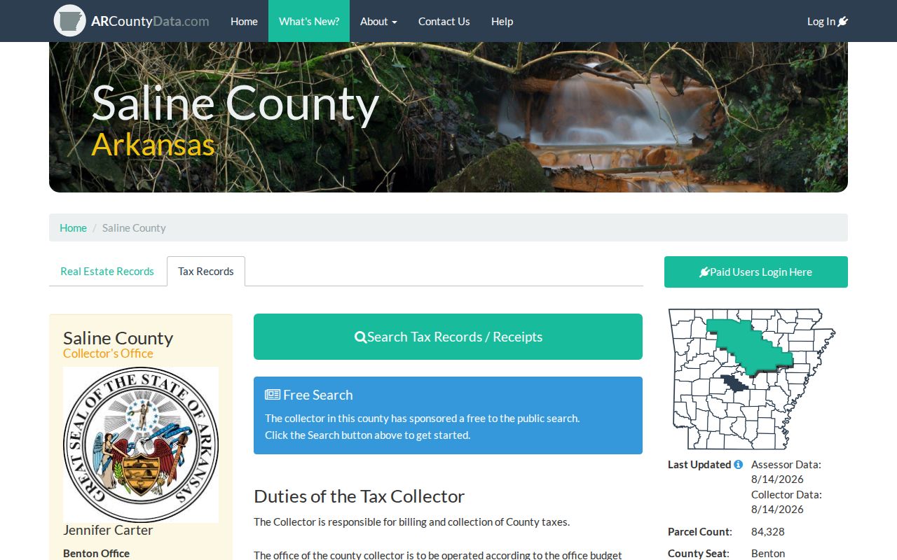
The captured screen marks the official starting point for a by-address search. Treat the owner field as an assessment fact, then use a recorded deed when title needs proof and another source when the question is occupancy.
Note: An assessed owner can be a trust, estate, company, or person whose mail goes elsewhere, so never turn that field into a household list.
Follow Benton Deeds Along Streets
The Saline County Circuit Clerk combines recorder and circuit-court duties. For Benton land, begin with the current owner's acquisition deed. A grantor gives an interest; a grantee receives it. Record the instrument number, filing date, deed type, book and page if assigned, and legal description. Search the grantor as an earlier grantee, then repeat. Match the land, not just the surname.
The AVA recorder service supports grantor-grantee work, while the county also points users to a CIS document-search channel. AVA browse is free; research reports image copies at $0.25 per page plus a $1 transaction charge, while Laredo is a subscription option. The exact earliest online index and image dates were not published.
The CIS source shown below is another Benton deed-search route documented by Saline County research.
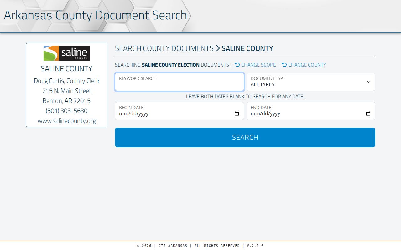
The screen confirms a digital route, not complete historical coverage. When the web trail ends, call the Circuit Clerk at 501-303-5607, visit the courthouse counter, ask for direct and indirect indexes or deed books, or send a focused mail request. Images, plats, certified copies, and older volumes may require staff help.
Benton Street Voter Record Limits
Arkansas VoterView is not a street-browse list. It asks for the known voter's first name, last name, date of birth, and county to verify registration, precinct, polling site, districts, and ballot information. A no-match may reflect spelling, date, county, status, or recent processing. It does not prove that a person left Benton.
A separate statewide voter-registration or vote-history file request can include permitted name, residence, mailing, county, precinct, district, registration, and election-participation fields. Ballot choices are never included. County voter-list fees are capped by list size at $10, $25, or $50. The requester must use the written policy and certification process. Secure-voter addresses protected under Arkansas law must remain out of ordinary public release.
For a whole-street question, contact the Saline County Clerk or review the Secretary of State voter-data request form. Voter status is election evidence, not a full Benton occupancy roster.
Benton Street Permits and Plats
Benton Community Development keeps the useful address layer for building permits, planning files, zoning requests, subdivision actions, inspections, and code matters. A permit may name the owner or applicant at the time, a contractor, project scope, valuation, issue date, and final inspection. It still cannot prove who occupied the site. Rezone applications may include a legal description and present or proposed ownership.
No stable anonymous permit-history search or online coverage date was verified. Start with the department counter or a narrow request by street address, parcel number, permit number, date range, and record type. Ask for the electronic permit index, permit cards, applications, inspections, and any certificate of occupancy that already exists. Under the Arkansas Freedom of Information Act, the office need not create a custom report, but it can produce releasable existing records and redact protected details.
Note: Benton advises large, visible house numbers or reflective mailbox numbers, a small detail that can prevent a wrong-address street search.
Benton Street Grid and ZIP Shifts
Benton's early courthouse-centered plat divided land into blocks and lots. That grid still matters when a modern street number fails. Saline County formed in 1835, Benton became the seat in 1836, and early title can be easier to trace through lot, block, plat, or section-township-range than through today's address. The surviving record story is unusually strong: SCHHS describes county records as virtually intact because no courthouse fire destroyed them, though neglect did cause some losses.
Modern postal history adds a second break. ZIP 72019 was created in 2006 by moving 8,095 deliveries from 72015. Postal Benton can also extend beyond incorporated city limits. Test both ZIPs for older records, omit the ZIP when searching historic sources, and use EDGE's incorporated-municipality field to check jurisdiction.
The Arkansas GIS Saline data catalog provides parcel polygons, centroids, address points, roads, and several aerial-photo vintages for broader comparison.
The catalog helps place a Benton address in time and space, but its parcel polygons are marked as not legal boundaries. Recorded plats, deeds, and surveys control legal questions.
Historic Benton Streets and Residents
Older household work adds sources that do not belong in a current owner table. Benton Sanborn fire-insurance maps survive for 1915 and 1921 and can show building footprints, materials, uses, numbers, and block context. Federal census schedules are public through 1950. SCHHS published census work for selected decades from 1840 through 1920, including a 1910 index arranged by dwelling number.
Obituary PDFs at Saline County Library cover 1930 to the present, and SCHHS Ashby Funeral Home abstracts span 1916 through 1940. These sources can connect a former address to kin, burial, and probate clues. A verified 1951 Benton-Bauxite telephone directory and cited Benton directory years offer leads, but no complete local reverse-directory run was verified. The collections and their research gaps are treated in the Benton city directory.
A safe pairing is structure in Sanborn, household order in census, a name lead in a directory, kin in an obituary, and title in the deed chain. Each proves something different.
Limits of Benton Street Directories
A Benton address directory cannot reveal every resident. Parcel rolls omit most renters and household members. Deeds show parties to recorded land transfers, not daily occupants. VoterView is identity-gated, public voter files suppress protected data, and voter status can lag a move. Utility customer details and motor-vehicle addresses are not substitute public resident rolls. Children, guests, and unrecorded occupants will not appear merely because a parcel is searchable.
Online portals also have coverage gaps. Older deeds may be in direct or indirect indexes at the courthouse. A public map boundary is not a survey. Permit history has no verified anonymous Benton portal, and historic directory fields differ by edition. State each source's date and limit before reaching a conclusion.
Lawful use. Use Benton street and address records for lawful personal research, family history, civic questions, and fraud checks. Never use a record to stalk, harass, threaten, or defeat an address protection.