
Benton ZIP Coverage at a Glance
Six postal identities matter in Benton research. Five are Census ZIP Code Tabulation Areas, or ZCTAs, that intersect the incorporated city in whole or part. The sixth is a Benton post-office-box code with no matching neighborhood polygon. The ZIP code directory must therefore distinguish delivery labels from city jurisdiction. It also must avoid treating a narrow ZCTA overlap as proof that the full postal area belongs to Benton.
| ZIP | Areas Covered | Post Office | Notes |
|---|---|---|---|
| 72015 | Central, south, and east Benton plus nearby delivery territory | Benton Post Office, 1425 Military Road | Original principal Benton delivery code |
| 72018 | Benton post-office boxes | Benton | Non-geographic; not a Census ZCTA |
| 72019 | West and northwest growth plus unincorporated delivery territory | Benton delivery system | Created July 1, 2006 |
| 72002 | Alexander postal area north and northeast | Alexander | A ZCTA sliver intersects Benton |
| 72011 | Bauxite postal area east and southeast | Bauxite | ZCTA intersects municipal Benton |
| 72022 | Bryant corridor east and northeast | Bryant | ZCTA reaches the adjoining city edge |
These are not six Benton neighborhoods. They are postal or census geographies used for different tasks. Verify a delivered address with USPS. Verify incorporation with the city, zoning map, Arkansas GIS, or the incorporated-municipality field in the parcel service. Keep the parcel ID and legal description when the exact jurisdiction matters.
Verify Benton ZIP Codes with USPS
The official USPS ZIP Code Lookup standardizes a street, city, and state into the delivery city, five-digit code, and ZIP+4 when available; USPS also maintains a ZIP reference for business mailers. The by-address lookup is the best first check for one mailing address. It does not decide whether the parcel is inside Benton, which public body has jurisdiction, or who lives at the address.
The captured USPS form below is the postal entry point used by the Benton ZIP code directory.
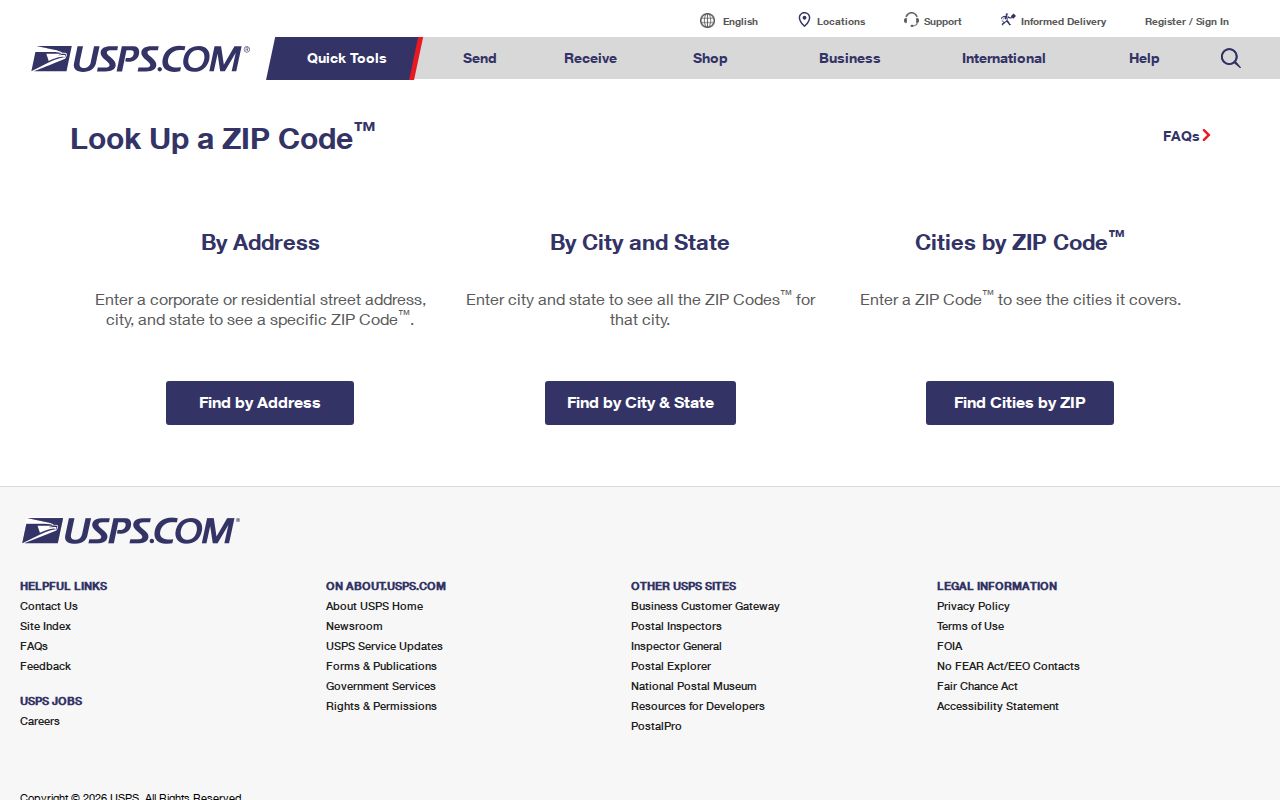
Enter the address as currently used. If USPS returns a neighboring community label, keep that result for mail, then inspect the parcel's incorporated municipality. Postal community and local government are separate fields for good reason.
Note: USPS validates delivery formatting; it does not certify Benton city limits, ownership, occupancy, or a legal parcel boundary.
Benton's 2006 ZIP Split
The strongest ZIP story is a documented split. The USPS Postal Bulletin created 72019 effective July 1, 2006 and transferred 8,095 deliveries from 72015. That change matters in far more than mail. A person, parcel, business, or notice may appear under 72015 before the effective date and under 72019 afterward without moving.
The bulletin capture preserves the source behind that boundary change.
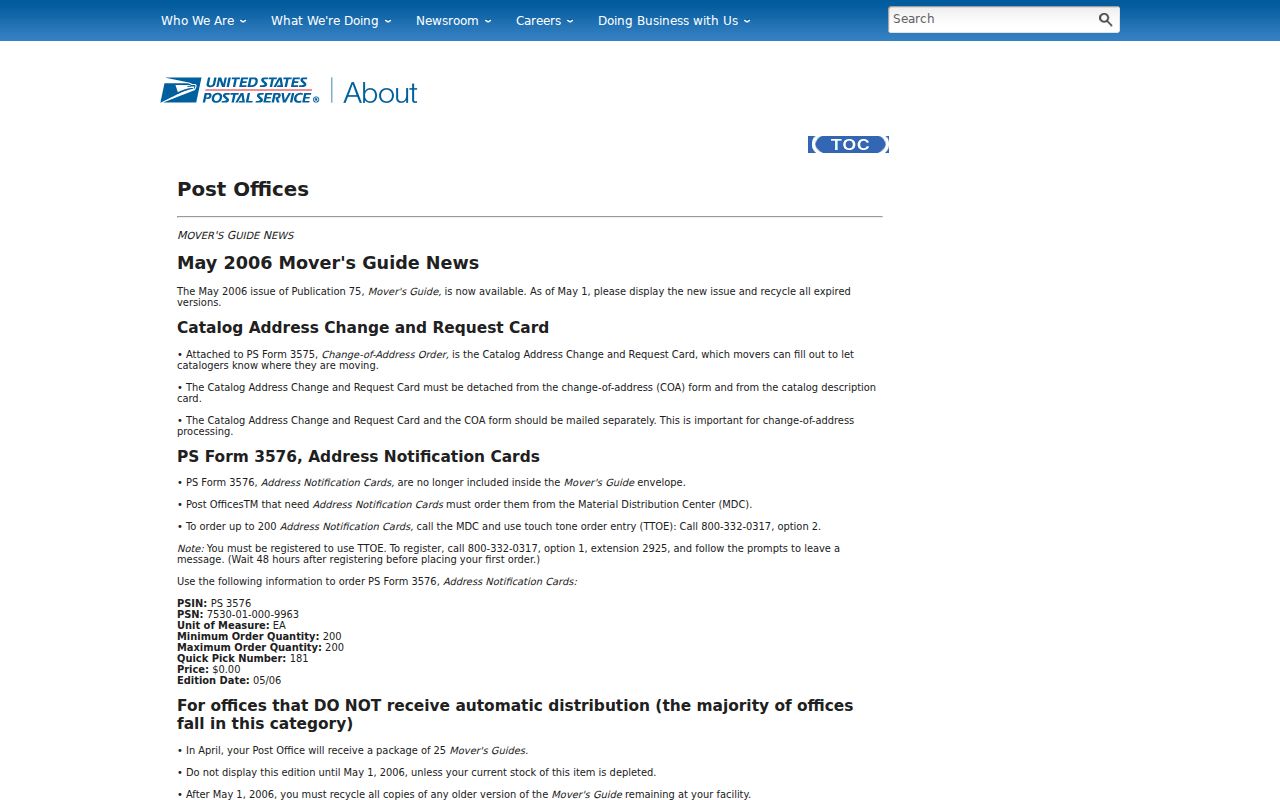
For pre-2006 research in west or northwest Benton, test both codes. Search the street without a ZIP when a database permits it. In deeds and parcel work, preserve the legal description and instrument number because those identifiers can survive a postal rewrite.
Benton ZIP 72018 Is Different
ZIP 72018 is a Benton post-office-box code. It is non-geographic, so it should never be shaded as a neighborhood or used as a city-limit polygon. Benton City Clerk mail uses P.O. Box 607 with this code, which illustrates its role well: 72018 routes a box, not a residence on a mapped block.
A post-office-box ZIP can still appear in a mailing field. The EDGE parcel record separates owner mailing lines from the physical or situs address, the address assigned to the land. A box may be a chosen contact point for an owner, agency, or firm. It does not show where that person lives or where the parcel lies. Search the physical address or parcel ID for land, and use the box only as a contact clue.
Find Benton Residents by ZIP
No verified county portal offers a one-click export of every occupant in a Benton ZIP. The practical method begins with a known name or address and moves through official sources. The Saline County assessor and EDGE GIS expose ZIP data within physical and mailing addresses, but a parcel owner is not the same as every resident. VoterView is identity-gated and cannot browse a ZIP. A formal voter-data request has its own certification, scope, and protected-field rules.
- Verify the current delivery code with USPS. Record the standardized address and ZIP+4 if returned.
- Search the Saline County Assessor link or EDGE by address, owner, parcel, or street. Compare physical and mailing ZIPs.
- Check the GIS record's incorporated municipality and postal community. Keep the parcel ID and legal description.
- Use Arkansas VoterView only when the person's first name, last name, date of birth, and county are known. It verifies one registration, not a resident list.
- For a lawful voter-file extract, follow the Secretary of State request process or ask the Saline County Clerk about county records and protected-address suppression.
Once the ZIP narrows the area, the Benton street directory workflow handles parcel-by-parcel work. Do not label a list of owners as a roster of occupants.
Benton ZIP Fields in EDGE
The EDGE parcel and mapping service does not expose a verified ZIP-wide export, but it offers several routes to an individual record. Search results can separate physical city and ZIP from owner mailing city and ZIP. Address-point results also distinguish the postal community from the incorporated municipality. These fields explain why the same record can carry two place labels without being wrong.
| Field | Type | Required | How It Helps |
|---|---|---|---|
| Quick Address | Autosuggest text | No | Partial address, up to six suggestions |
| Quick Street Name | Autosuggest text | No | Finds a full street label |
| Detailed Owner Name | Text | No | Case-insensitive contains search |
| Detailed Address | Text | No | Contains search for a physical address |
| Address Point | Text | No | Returns address, municipality, postal code, and postal community |
| Street Name | Text | No | Returns street direction, type, ranges, and city on each side |
The record may also show parcel ID, owner, legal description, total value, acreage, and separate physical and mailing lines. GIS parcel lines are assessment references, not legal survey boundaries. Use a deed, plat, or survey when the boundary itself is disputed.
Benton Annexations Change ZIP Context
Benton's rapid growth makes map vintage important. Census QuickFacts reports 35,014 residents in 2020 and an estimated 38,898 on July 1, 2025, an 11.1 percent rise. Postal routes, census polygons, and incorporated limits can be updated on different schedules. A current mailing label should not be projected back into an older deed, directory, or map.
The Benton City Clerk records repository provides ordinances and resolutions that can document annexation and boundary action. Its captured browse page is a useful city-side source.
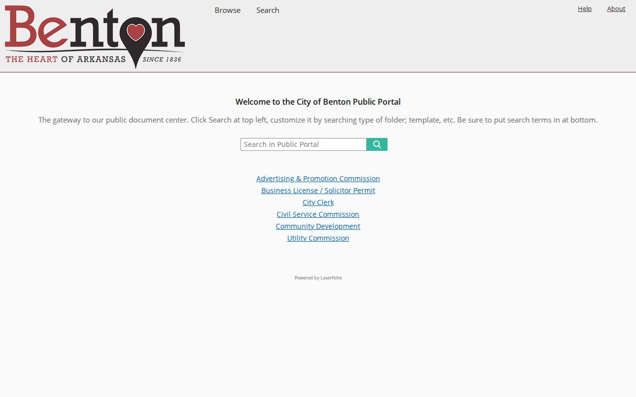
Official browse instructions proceed through the clerk category, record type, year, and record number. A focused request can also ask for a known annexation ordinance or map. Arkansas GIS separately documents a 2018 Census boundary correction tied to territory already shown under a 1995 Benton ordinance.
Benton ZIPs Versus City Limits
Census identifies 72002, 72011, 72015, 72019, and 72022 as ZCTAs intersecting Benton. That does not make all of Alexander, Bauxite, or Bryant part of Benton. Nor does the word Benton on a 72019 mailing label guarantee incorporation. Verify delivery with USPS and jurisdiction with Arkansas GIS, Benton zoning material, or the parcel record's incorporated-municipality field.
The distinction is simple once the terms are clear:
- ZIP code
- A USPS routing code for delivery. Its service area is not a municipal boundary.
- ZIP+4
- The five-digit code plus four digits that narrow a delivery segment, box group, building, or route.
- PO-box ZIP
- A code serving post-office boxes rather than a mapped residential area, such as Benton's 72018.
- Unique ZIP
- A code assigned to one high-volume organization. No unique Benton institution code was verified.
- Carrier route
- A mail delivery path within a ZIP. It may cross lines used by other agencies.
Search Old Benton Records Twice
The 2006 split is one historical trap. Early Benton records present another. The original courthouse-centered plat used blocks and lots, and the city has since grown through annexation. A 1915 Sanborn map or 1951 telephone book cannot contain a code created decades later. Search by person and street first, then add the ZIP only when the source date supports it.
Place names also reflect Benton's bauxite-era links with Bauxite, Bryant, and Little Rock. A family may appear under a nearby postal community while remaining part of the same regional story. Saline County once included territory later assigned to Grant, Perry, and Garland Counties, so very early land and family research may need a boundary-history check.
Keep stable identifiers. Parcel IDs help with current assessment records. Lot, block, subdivision, section-township-range, deed book and page, and instrument numbers can bridge changes in ZIP or street presentation. No official citywide renumbering year was verified, so never invent one to explain a mismatch.
Limits of a Benton ZIP Lookup
A ZIP code directory narrows geography; it does not reveal everyone at an address. The assessor lists an owner and parcel, not most renters, children, or other household members. Mailing and physical addresses may differ. VoterView verifies one registrant with identifying data, while a released voter file excludes protected and sensitive fields. A vote-history flag shows election participation, never a ballot choice.
Use every available channel. Start online with USPS and the assessor or GIS. Contact the Saline County Assessor for parcel questions, the County Clerk for election records, and the Benton City Clerk for annexation ordinances and existing municipal records. A focused Arkansas Freedom of Information Act request should name the record series, date span, subject, and desired format. Agencies need not create a ZIP-based roster that does not exist.
Official data can be stale or easy to overread. Compare the source date, city field, postal field, and legal identifier. Protected addresses must stay protected, and no record should be used to stalk, harass, or harm anyone.